Jan Huygen van Linschoten (1563-1611) left for Spain in December 1593 to continue his training as a merchant. The commercial ambitions of this adventurous son to a public notary in Haarlem reached, however, much further than the borders of the Iberian peninsula. While pursuing his fortune he gained the confidence of the archbishop of Goa, which made him the first Dutchman to get an impression of the gigantic colonial empire built by Portugal in the Far East.
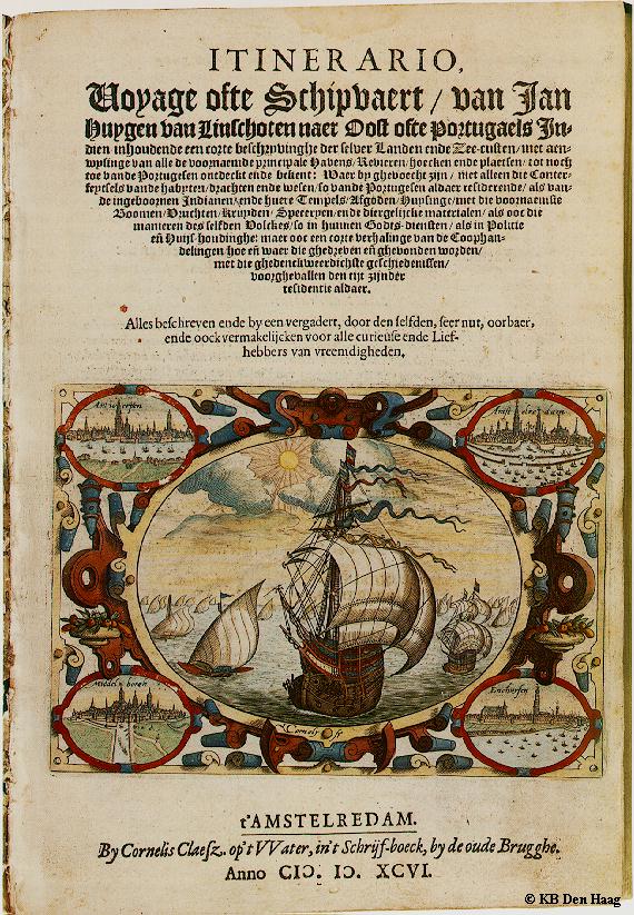
On his return to the Netherlands Van Linschoten sold the story of his travels to the Amsterdam publisher Cornelis Claesz, who published it in 1596 in a book elaborately illustrated with maps and prints. The Itinerario is not only a travel story: apart from the tale of Van Linschoten's wanderings on the Azores, in Portugal, and the present Indonesia two of his other works have been included, both dealing with navigation: the Beschryvinghe van de gantsche custe van Guinea and the Reys-gheschrift vande navigatien der Portugaloysers in Orienten.
The significance of this first Dutch survey of the former Netherlands East Indies lies in the valuable sailing instructions which Van Linschoten had managed to acquire, information that could only be found in the secret archives of the Portuguese administration. Abusing the trust put in him he had copied it page by page. Thus, in one go, the greatly coveted shipping route to the Netherlands East Indies and the route between the Asiatic sea ports as such, came within reach. Even more crucially, Van Linschoten had also obtained information on very delicate nautical data that provided insight into the currents, deeps, islands and sandbanks, and such knowledge was absolutely vital for safe navigation. Besides, everything was elucidated by coastal depictions and maps of unprecedented accuracy for those days.